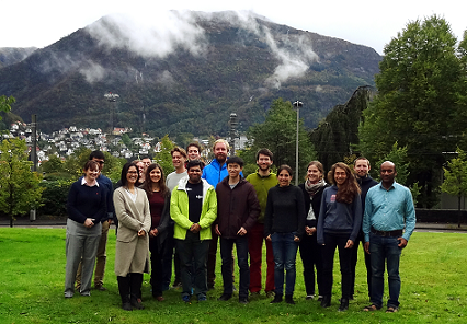
The CHESS Land Surface Modeling course was held 2-6 October in Bergen. Total of 11 students mostly from Bergen and Oslo and 9 guest lecturers joined the course.
The main objective of the course was to educate and train theories and application of land surface modeling in the framework of the Norwegian Earth System Model to increase the use of climate modeling in terrestrial sciences research and to train the next generation land surface modelers. The course focused on addressing: 1) understanding and modeling of processes controlling fluxes of water and energy at the boundary between the land surface and the atmosphere, and 2) the interaction between biogeophysics and biogeochemistry in terrestrial systems and modeling these processes in land surface modeling.
Morning lectures focused on the basics of land surface modeling and different components of land surface modeling (i.e. biogeophysics and biogeochemistry components) and afternoons were dedicated to practical sessions using the Community Land Model. The practical sessions included site level simulations with different experiments using the super computing system, Hexagon.
In addition to the lectures and practicals, there was ample time for students to network and discuss their research topics with the participating students as well as guest lecturers, particularly understanding what it means to use modeling in empirical research.
Overall, it was a great opportunity for the students as well as the lecturers to learn and discuss how to use the model in answering research questions. There was some difficulty preparing the course due to decommissioning of the supercomputing system, Hexagon. But we will gather suggestions from the students to improve the practical session for the next course.
View lecture presentations and notes for practical sessions here.

